Significant Weather Blog: Thursday, May 28, 2026 5 PM
Rain and Chilly Late Friday and Saturday Followed by a Round of Showers Monday and Tuesday The weather for this weekend and…
Read more →Thursday, May 28, 2026
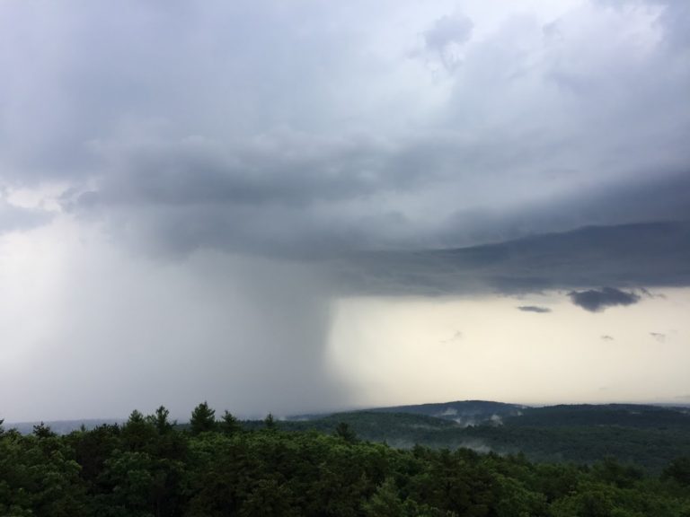
BLUE HILL METEOROLOGICAL OBSERVATORY MILTON, MASSACHUSETTS ELEVATION 635 FEET, 10 MILES SSW OF BOSTON, MA THURSDAY, MAY 28, 2026 ALL TIMES ARE…
Read more →Wednesday, May 27, 2026
BLUE HILL METEOROLOGICAL OBSERVATORY MILTON, MASSACHUSETTS ELEVATION 635 FEET, 10 MILES SSW OF BOSTON, MA WEDNESDAY, MAY 27, 2026 ALL TIMES ARE…
Read more →Tuesday, May 26, 2026
BLUE HILL METEOROLOGICAL OBSERVATORY MILTON, MASSACHUSETTS ELEVATION 635 FEET, 10 MILES SSW OF BOSTON, MA TUESDAY, MAY 26, 2026 ALL TIMES ARE…
Read more →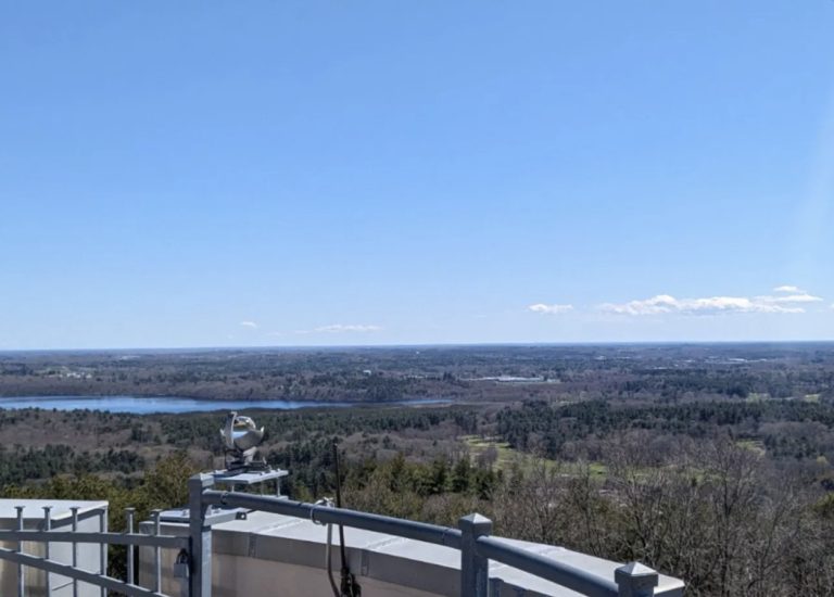
April 2026 Weather Summary
Monthly Climate Summary · April 2026 Warm and Dry on the Hill.Spring Arrived Quietly. April 2026 brought slightly above-normal temperatures and well…
Read more →
The Observatory Salon Presents “The Winter Forecast Revisited: What Was Right — and Wrong”
Observatory Salon · Free Virtual Event · June 2026 The Winter Forecast Revisited.What Was Right — and Wrong. Join Dr. Judah Cohen…
Read more →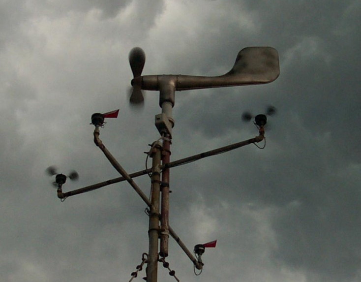
Save the Record. 141 Years Cannot Be Replaced.
Grassroots Campaign · 2026 Save the Record. 141 Years Cannot Be Replaced. Blue Hill Observatory & Science Center is launching a grassroots…
Read more →
Take Action for Blue Hill Observatory
Take Action · 2026 Help Protect the Observatory. Your Voice Matters. Our community has already delivered two remarkable victories in the Massachusetts…
Read more →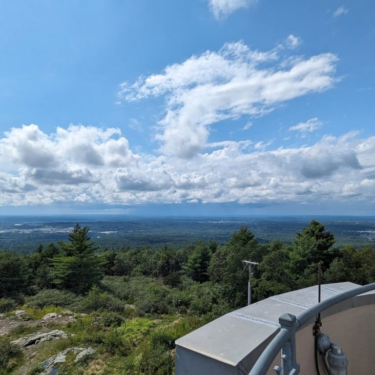
New at the Observatory in May 2026
News & Announcements · 2026 A New Chapter for Blue Hill Observatory. We have been busy. A redesigned website, a new café…
Read more →
Open Mic at Café 635
Live Music · Café 635 · Summer 2026 Open Mic Night on Great Blue Hill. Every last Sunday of the month, Blue…
Read more →