An easy 3-mile loop past hemlocks, mountain laurel, a cedar swamp, and an old homestead, on the Milton and Quincy line.
Braintree Pass Path is one of the hidden gems of the Blue Hills. This easy loop on the eastern side of the reservation passes tall hemlocks, slopes of mountain laurel, an Atlantic cedar swamp, and the cellar hole of an old farmstead.
Trailhead parking
Directions to Braintree Pass Path trailhead →Shady stands of hemlock and hillsides covered in mountain laurel.
An Atlantic cedar swamp along the return leg.
A cellar hole left from a farm settled here centuries ago.
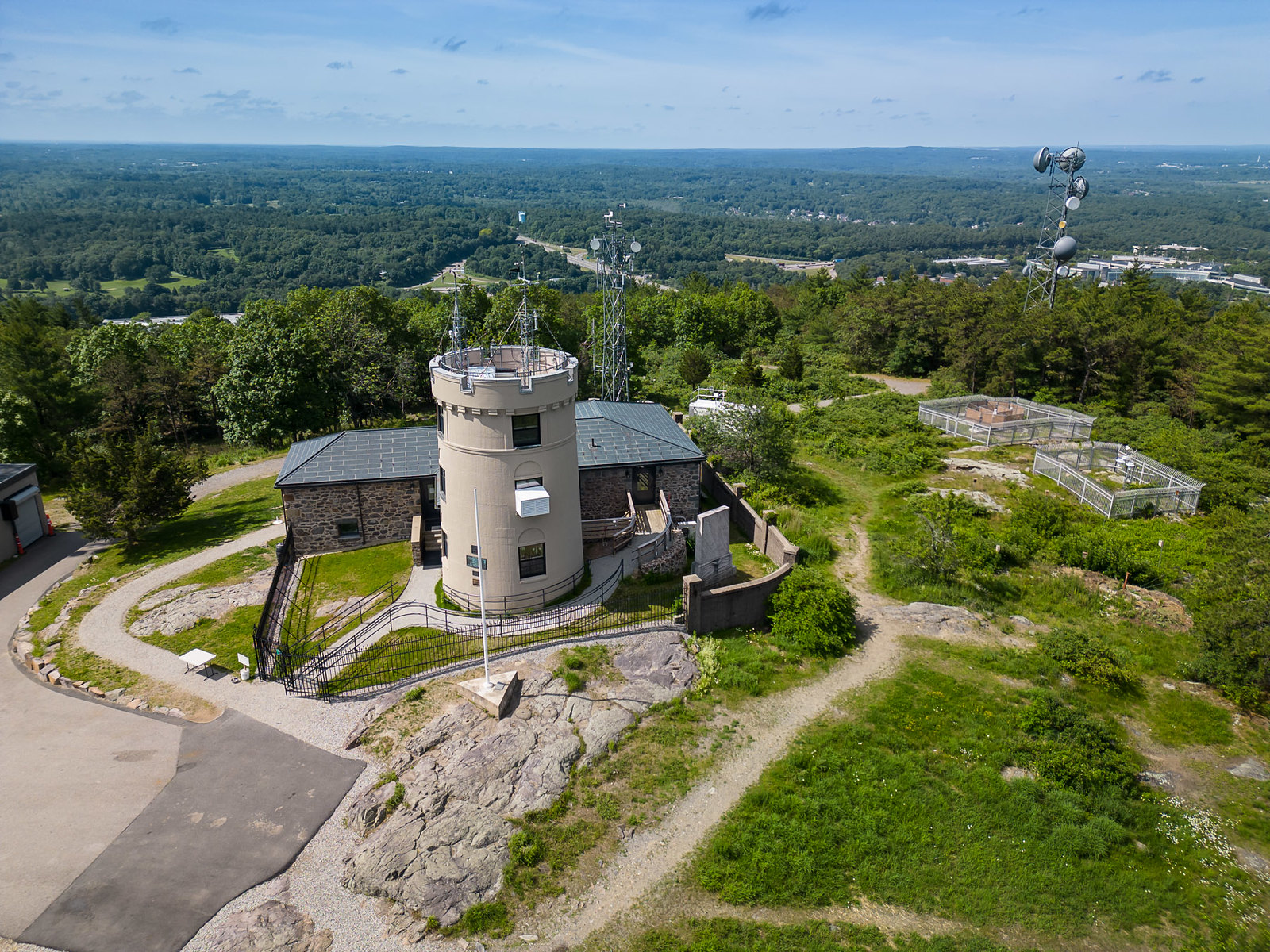
For views, pair this with a climb up Great Blue Hill to the Observatory on the western end of the range.
DCR lists it at about 3 miles, taking 2 to 2.5 hours.
At a small pull-off near the intersection of Route 28 and Chickatawbut Road on the Milton and Quincy line, at intersection 3024 on the DCR map.
Yes. DCR lists it among its easy hikes.
An old cellar hole along the trail that marks where farmers settled hundreds of years ago.
Guided hikes
Our staff lead groups up Great Blue Hill, connecting the trail to the landscape, the climate record, and 141 years of daily observation. Every guided hike ends inside the Observatory.
Route details are based on the Massachusetts Department of Conservation and Recreation’s recommended Blue Hills hikes. Trails and markers change, so carry the DCR map and confirm conditions with DCR at 617-698-1802.
Finish your day on Great Blue Hill, where Blue Hill Observatory has recorded the weather every day since 1885.
Monthly Skymail, event announcements, and research summaries.