Visit · Blue Hills Trails
The best hikes in the Blue Hills, from the climb up Great Blue Hill to the Skyline Trail, plus parking, blazes, and a visit to the summit Observatory.
The Blue Hills Reservation covers more than 7,000 acres just south of Boston, with about 125 miles of trails. Its highest point is Great Blue Hill, at 635 feet, where Blue Hill Observatory & Science Center has recorded the weather every day since February 1, 1885. This guide covers the climb to the Observatory, the best hikes across the range, and what to know before you go.
The summit is often colder and windier than the parking lot.
Observed on the summit of Great Blue Hill. Weather alerts from the National Weather Service. Check DCR for trail closures, and see the summit on our live cameras.
Status:Good to goUse cautionNot recommended
Most visitors to the Observatory start at the Blue Hill Ski Area and Trailside Museum parking area on Route 138 in Canton. The summit road is not open to public vehicles, so everyone walks the last mile. Pick the route that fits your group.
Paved and steady, the easiest way up for families and first-time visitors. It is still steep, with an average grade of 15 to 20 percent in places.
Starts behind the Trailside Museum and climbs straight up through the woods over rocky ground. Shorter but rougher. Wear real shoes.
The classic workout. From Reservation Headquarters on Hillside Street, follow the blue blazes west over five hilltops to Great Blue Hill and back on the other branch.
Great Blue Hill gets the crowds, but the reservation has a hike for every mood: big views, quiet ponds, kid-sized summits, and one long ridge walk.
ChallengingViews
Rugged, rocky loops around the highest summit in the range. Finish at Eliot Tower and the Observatory, and on clear days look out over Boston.
DifficultAll day
The full blue-blazed ridge from one end of the range to the other. It is not a loop, so leave a car at the far end or arrange a ride back.
ShortRock scramble
A short hike with big views and plenty of rocks to climb, a favorite for kids who like to scramble. The Chickatawbut Overlook on Chickatawbut Road has parking and picnic tables.
EasyFamily
A gentle loop around the pond, with free parking and swimming in summer. A good warm-up before a climb up the hills.
ShortKids
A short climb that works for preschoolers and grandparents alike, with a summit at the end.
ModerateShade
Great Blue’s smaller neighbor, a much shorter climb through shaded woods. A good choice on hot days.
EasyLong walk
A long, peaceful walk with pond views on the Canton side of the reservation. Fisherman’s Beach on Randolph Street is a common starting point.
ModerateForest
Relatively level walking through big hardwood forest, starting from the lot just north of the Trailside Museum. A quieter option near Great Blue Hill.
Trails in the Blue Hills are marked by color and shape. Many intersections also have a four-digit number on a white post that matches the DCR trail map. If you get turned around, find the nearest number.
| Marker | What it means | Typical length |
|---|---|---|
| Blue rectangles | Skyline Trail, across the whole range | 2.6 mile loop to 7.5 mile traverse |
| Red dots | Challenging, rocky loops | 1.3 to 3.8 miles |
| Green dots | Moderate woodland loops | 2.7 to 4.25 miles |
| Yellow dots | Easy loops | 0.6 to 1.2 miles |
Get the official DCR Blue Hills trail map before you go, or pick up a printed map at Reservation Headquarters.
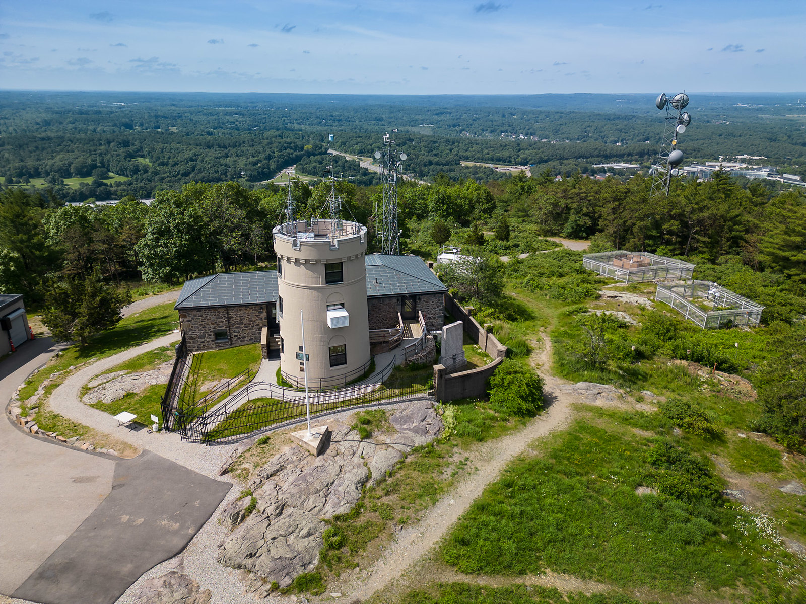
Two stone towers stand near the top of Great Blue Hill, and hikers often mix them up.
Blue Hill Observatory is the stone building and tower on the summit. It is a working weather station, a National Historic Landmark, and home to the longest continuous weather record in the Western Hemisphere. Observers still take readings on the summit every day.
Eliot Tower is a separate stone tower a short walk away, named for Charles Eliot, a founder of the Metropolitan Parks System. It is part of the reservation and has an accessible path, picnic tables, and views toward Boston.
With a ticket, you can go inside the Observatory, see the Mish Michaels Exhibit Hall and History Room, and look out from the top of the tower. Café 635 & Shop is open during public hours, and the shop is always free to visit.

| Observatory public hours | |
|---|---|
| Tuesday to Friday (February to December) | 10:00 AM to 2:00 PM |
| Weekends and holidays, February to May 24 | 10:00 AM to 4:00 PM |
| Weekends and holidays, May 25 to October 12 | 10:00 AM to 5:00 PM |
| Weekends and holidays, October 13 to December 31 | 10:00 AM to 4:00 PM |
Closed Mondays, all of January, Thanksgiving, Christmas Eve, and Christmas Day. Guided tours can be booked any day by appointment. Discovery Tour $10, free for members. Observatory Insider $15, $5 for members. Children under 5 free. Current hours and tickets are always on the Visit page.
Spring. Trails can be muddy. Mountain biking trails close for mud season in March. Slide Notch has a small waterfall that runs best in spring and early summer.
Summer. Start early, bring more water than you think, and finish with a swim at Houghton’s Pond. Observatory weekend hours run to 5:00 PM.
Fall. The best views of the year. DCR runs a controlled archery deer hunt on some November weekdays. Hunting areas stay open to hikers, but wear blaze orange and check DCR’s map before you go.
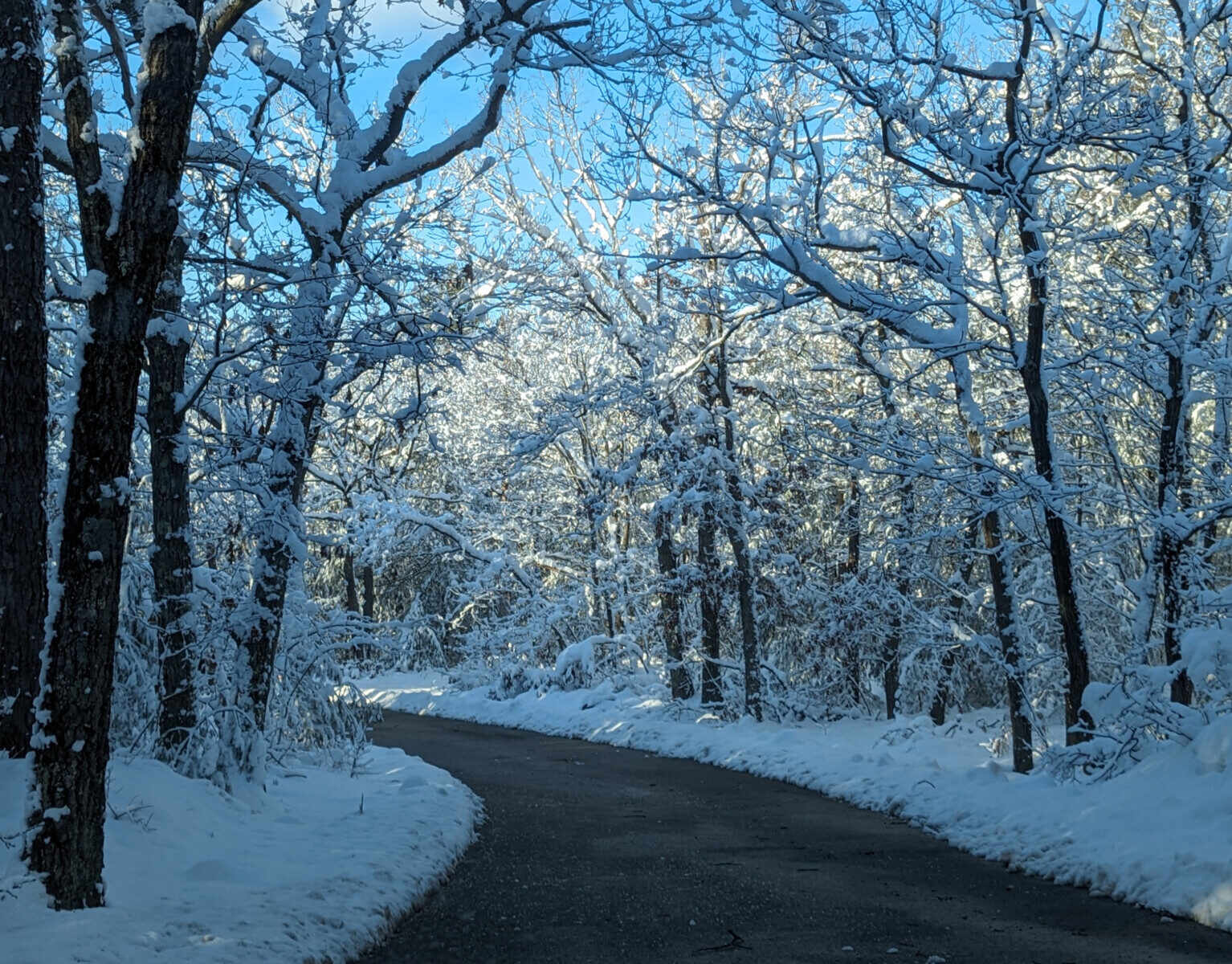
Winter. Ice makes the rocky trails slick, so traction devices help. The Summit Road has a winter closure notice on the DCR map, and the Observatory is closed all of January except for booked tours.
| Lot | Best for | Notes |
|---|---|---|
| Blue Hill Ski Area and Trailside Museum, Route 138 | Great Blue Hill and the Observatory | Closest lot to the summit, about one mile on foot. Fills early on fair weekends. |
| Houghton’s Pond, 840 Hillside Street, Milton | Skyline Loop, Houghton’s Pond, Buck Hill | Free visitor parking. |
| Reservation Headquarters, 695 Hillside Street, Milton | Maps and information | 10-minute parking only. |
| Chickatawbut Overlook, Chickatawbut Road | Chickatawbut Hill | Parking and picnic tables. |
| Fisherman’s Beach, Randolph Street, Canton | Ponkapoag Pond | Pond trails on the south side. |
Driving directions to the Observatory are on Getting Here. Visitors who cannot make the climb can arrange vehicle access to the summit in advance through online booking.
About 20 minutes on the one-mile Summit Road, or 20 to 30 minutes on the rougher Red Dot Trail. The Skyline Loop from Hillside Street is about 2.6 miles and takes 2 to 2.5 hours.
For views, climb Great Blue Hill and visit the Observatory. For a workout, take the Skyline Loop. For an easy family walk, try the Yellow Dot Loop around Houghton’s Pond.
The summit road is open to authorized vehicles only. Vehicle access to the Observatory can be arranged in advance through online booking.
Yes, on a leash at all times on reservation trails. Dogs are not allowed on the Houghton’s Pond beach.
Tuesday to Friday from 10:00 AM to 2:00 PM, and weekends on a seasonal schedule. It is closed Mondays and all of January. Check the Visit page before you go.
Download the DCR trail map, or pick one up at Reservation Headquarters, 695 Hillside Street, Milton.
Guided hikes
Our staff lead groups up Great Blue Hill, connecting the trail to the landscape, the climate record, and 141 years of daily observation. Every guided hike ends inside the Observatory.
Every DCR color-coded trail, with distances, times, parking, and turn-by-turn directions.
The most direct way to the summit and the Observatory.
Five hilltops from Headquarters to Great Blue Hill and back.
The quickest real summit in the range.
Green dots through hardwoods past a spring vernal pool.
Pines and hemlocks from Headquarters via Five Corners.
A rugged yellow triangle loop, walked counterclockwise.
The easiest walk in the reservation.
A hard climb over Tucker and Buck Hills.
Rolling green dots around the base of Tucker Hill.
The long woodland walk, on white triangles.
A quiet loop around the largest pond in the reservation.
Hemlocks, laurel, a cedar swamp, and an old homestead.
A 1930s CCC tower and a classic Boston view.
Woods, wetlands, and an old winter carnival site.
A quiet wetland walk in Braintree.
When to go, the safest route in low light, and where to stand for the view.
Ice, wind, short days, and the best winter routes up Great Blue Hill.
Family hikes by age, from Houghton’s Pond to the Observatory.
141 years of daily observations on the summit, from 1885 to today.
Climb Great Blue Hill, then step inside the home of the longest continuous weather record in the Western Hemisphere.
Trail information comes from the Massachusetts Department of Conservation and Recreation and the Friends of the Blue Hills. Trails and markers change, so confirm conditions with DCR at 617-698-1802.
Monthly Skymail, event announcements, and research summaries.