GivingTuesday · December 1 · Help keep 141 years of weather observations going.

Give now
Sign In Become a Member

Forest Path Loop

Blue Hills Trails

A 6-mile white triangle loop through the woods of the Houghton’s Pond section, walked counterclockwise.
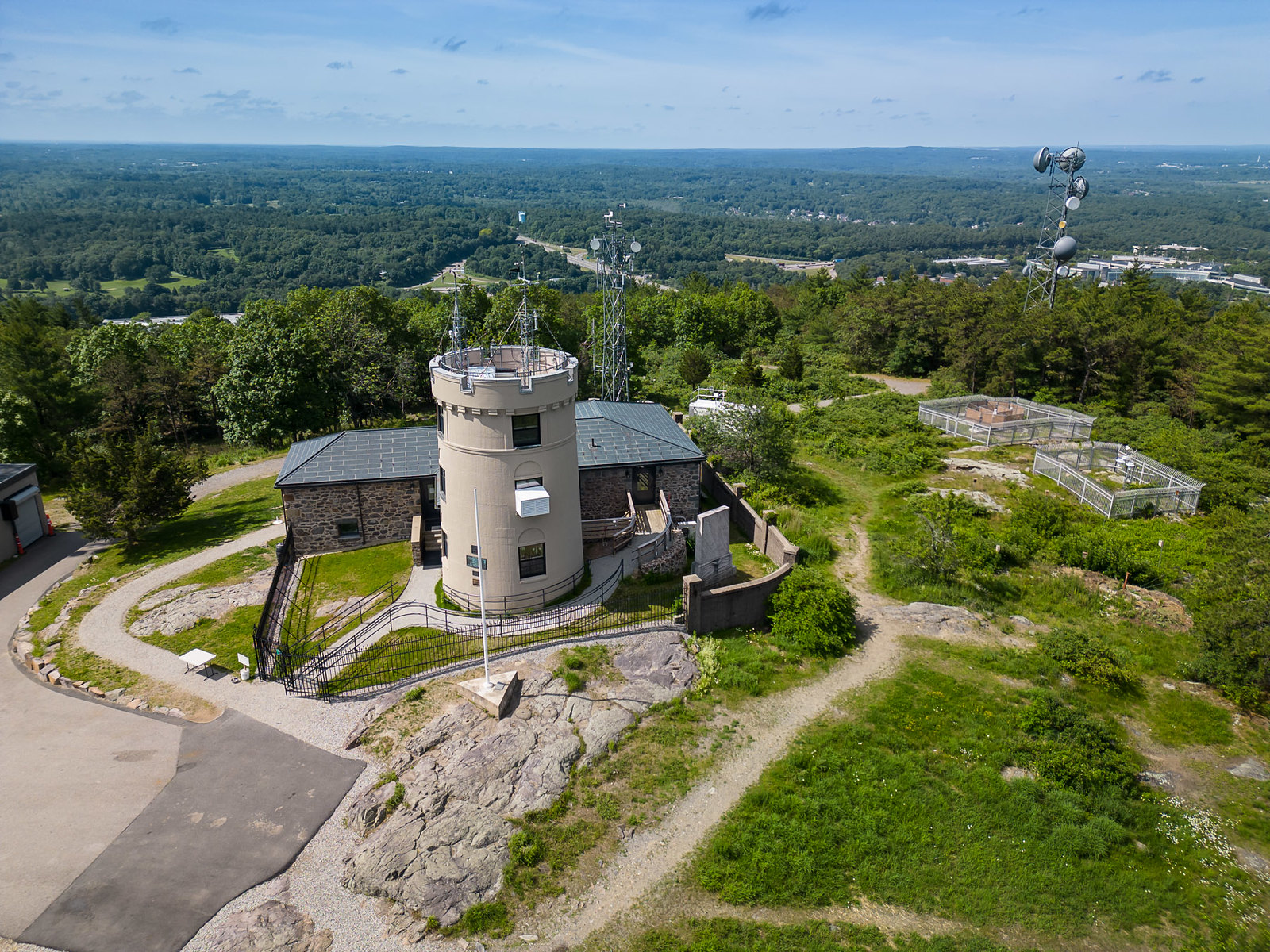
Aerial view of the forested Blue Hills range

The Forest Path loop is the long woodland walk of the Blue Hills: about six miles on white triangles through the Houghton’s Pond section. It is marked in one direction only, so walk it counterclockwise.

DistanceAbout 6.1 miles
Time2.5 to 3 hours
DifficultyLong, moderate
StartHoughton’s Pond kiosk, 840 Hillside St, Milton

The route

  1. Start at the Houghton’s Pond kiosk, 840 Hillside Street, Milton.
  2. Follow the white triangles east along Hillside Street.
  3. Stay on the white triangles through the woods of the Houghton’s Pond section.
  4. The triangles only point one way. Walk the loop counterclockwise back to the pond.

Before you go

  • If you get lost or hurt, call 911. Give the dispatcher the four-digit number on the nearest intersection post. Those numbers match the DCR map and help responders find you. For non-emergency park concerns, DCR’s 24-hour dispatch is (508) 820-1428.
  • Before you go, share your phone’s location with a friend, and tell someone your route and when you plan to be back.
  • Carry the DCR trail map. Many intersections have a white post with a four-digit number that matches the map.
  • Wear sturdy shoes, bring water, and dress for wind on the summits.
  • The reservation is open dawn to dusk. Dogs must be leashed. Carry out everything you bring in.
  • Timber rattlesnakes and copperheads live in the Blue Hills. They are shy. Stay on the trail and give them space.

Guided hikes

Add a guided summit hike

Our staff lead groups up Great Blue Hill, connecting the trail to the landscape, the climate record, and 141 years of daily observation. Every guided hike ends inside the Observatory.

Staff-led · By appointment, any day, year-round · Observatory tour included · From $250 per group, members save

See guided hikes

FAQ

How long is the Forest Path loop?

DCR lists it at about 6.1 miles, taking 2.5 to 3 hours.

Why counterclockwise?

The white triangles are marked in one direction only.

Is it steep?

DCR describes it as a long, moderate hike.

Trail details are based on the Massachusetts Department of Conservation and Recreation’s recommended color-coded hiking trails. Trails and markers change, so carry the DCR map and confirm conditions with DCR at 617-698-1802.

Save energy for the summit

On another day, climb Great Blue Hill to the Observatory, the highest point in the range.

Plan your visit See the summit now