A rolling green dot loop around the base of Tucker Hill and along an old carriage road from Houghton’s Pond.
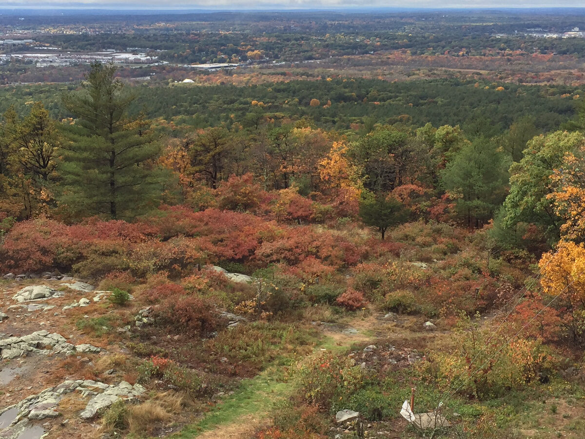
The Tucker Hill loop is a rolling green dot walk around the base of Tucker Hill and along an old carriage road, starting from Houghton’s Pond. DCR also calls this route the Dark Hollow Loop.
Trailhead parking
Directions to Houghton’s Pond →Guided hikes
Our staff lead groups up Great Blue Hill, connecting the trail to the landscape, the climate record, and 141 years of daily observation. Every guided hike ends inside the Observatory.
DCR lists it at 2 to 2.87 miles depending on the route, taking about 1.5 hours.
DCR describes the Dark Hollow Loop as the green dot loop around the base of Tucker Hill from Houghton’s Pond.
No. It is rolling, moderate terrain that stays around the base of the hill.
Trail details are based on the Massachusetts Department of Conservation and Recreation’s recommended color-coded hiking trails. Trails and markers change, so carry the DCR map and confirm conditions with DCR at 617-698-1802.
Great Blue Hill is the highest summit in the range, with the Observatory on top.
Monthly Skymail, event announcements, and research summaries.