GivingTuesday · December 1 · Help keep 141 years of weather observations going.

Give now
Sign In Become a Member

Ponkapoag Pond Loop

Blue Hills Trails

A quiet loop of about 4 miles around the largest pond in the Blue Hills, past AMC’s Camp Ponkapoag and the view at Fisherman’s Beach.
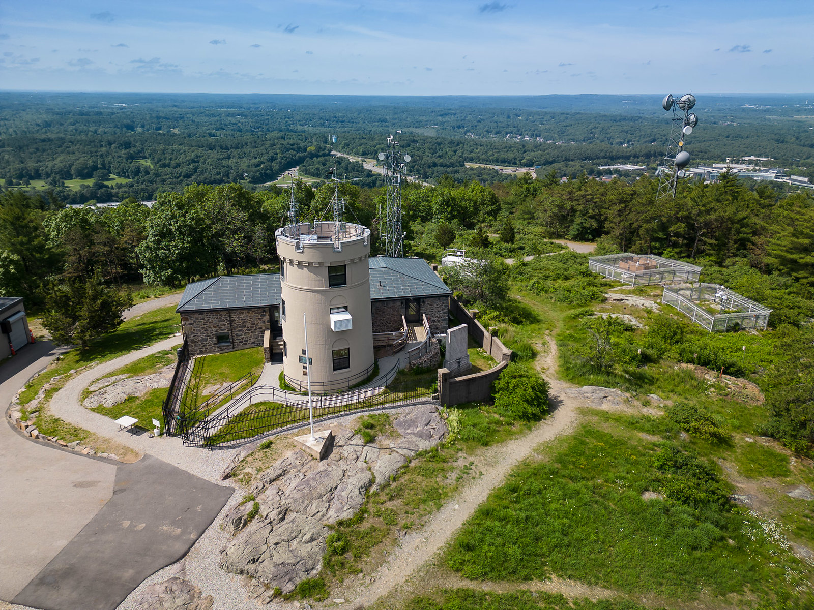
Aerial view of the Blue Hills range south of Boston

The Ponkapoag Pond loop is the quiet side of the Blue Hills. Green dots lead around the largest and most remote body of water in the reservation, through the Ponkapoag Golf Course and past AMC’s Camp Ponkapoag, with a view across the water at Fisherman’s Beach.

DistanceAbout 3.75 to 4.25 miles
Time2 to 3 hours
DifficultyModerate, wide trails
StartPonkapoag Trail kiosk, off I-93

The route

  1. Park near the kiosk on Ponkapoag Trail, off I-93. Do not block the gate or park on the ramps. Fisherman’s Beach on Randolph Street in Canton is another common start.
  2. Follow the green dots around the pond. The loop stays close to the shore and is mostly level.
  3. Across from the YMCA camp, near intersection #5176, you pass the start of the old bog boardwalk. It is closed to visitors until DCR rebuilds it, so stay on the green dots.
  4. Continue on the green dots to close the loop. The trail passes through the Ponkapoag Golf Course, borders AMC’s Camp Ponkapoag, and has one narrow section over a stream. Stop for the view at Fisherman’s Beach near intersection #5321.

What you’ll see

Fisherman’s Beach

A view across the pond near intersection #5321, and a second place to start the loop.

Room to yourself

Ponkapoag is more isolated than the trailheads around Great Blue Hill, so it tends to be quieter.

Add the summit. After the pond, drive to the Trailside Museum lot on Route 138 and walk the one-mile Summit Road to Blue Hill Observatory. See the Great Blue Hill routes.

Before you go

  • If you get lost or hurt, call 911. Give the dispatcher the four-digit number on the nearest intersection post. Those numbers match the DCR map and help responders find you. For non-emergency park concerns, DCR’s 24-hour dispatch is (508) 820-1428.
  • Before you go, share your phone’s location with a friend, and tell someone your route and when you plan to be back.
  • Carry the DCR trail map. Many intersections have a white post with a four-digit number that matches the map. If you get turned around, find the nearest number.
  • Bring water, and dress for wind on the summits.
  • The reservation is open dawn to dusk. Dogs must be leashed. Carry out everything you bring in.
  • Timber rattlesnakes and copperheads live in the Blue Hills. They are shy. Stay on the trail and give them space.

FAQ

How long is the Ponkapoag Pond loop?

DCR lists the loop around Ponkapoag Pond at 3.75 to 4.25 miles depending on the route, taking about 2 to 3 hours.

Where do you park for Ponkapoag Pond?

DCR recommends the pull-off on Blue Hill River Road beside I-93. Fisherman’s Beach on Randolph Street in Canton is another common starting point.

Is the Ponkapoag boardwalk open?

No. The boardwalk across the bog, which starts across from the YMCA camp at intersection 5176, is closed to visitors. It is fragile and often underwater, and DCR plans to rebuild it as part of its Ponkapoag Pond master plan. The loop trail around the pond is open.

Can you swim in Ponkapoag Pond?

Swimming is not allowed, except in a designated area managed by AMC’s Ponkapoag camp. Fishing is allowed with a Massachusetts fishing license.

Is the Ponkapoag Pond trail hard?

No. DCR rates it moderate because of its length. It is mostly level.

Guided hikes

Add a guided summit hike

Our staff lead groups up Great Blue Hill, connecting the trail to the landscape, the climate record, and 141 years of daily observation. Every guided hike ends inside the Observatory.

Staff-led · By appointment, any day, year-round · Observatory tour included · From $250 per group, members save

See guided hikes

Route details are based on the Massachusetts Department of Conservation and Recreation’s recommended Blue Hills hikes. Trails and markers change, so carry the DCR map and confirm conditions with DCR at 617-698-1802.

Finish high

After the pond, climb Great Blue Hill and see the weather station that has never missed a day since 1885.

Plan your visit See the summit now