Significant Weather · Storm Report
On the evening of February 22nd, snow began falling over Great Blue Hill. By the time it ended late on the 23rd, the storm had written itself into the history books — not just for this winter, but for all 141 years of Blue Hill Observatory’s continuous weather record.
How the Storm Unfolded
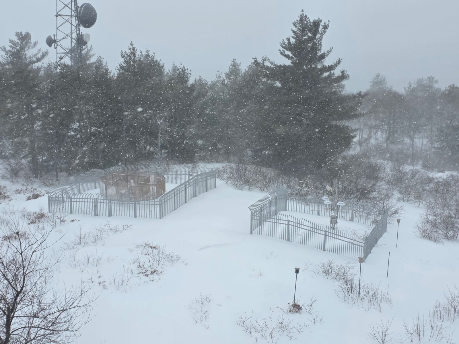
Snow developed across the region during the afternoon of February 22nd and intensified overnight. The heaviest snowfall rates occurred in the pre-dawn hours of the 23rd, when near-blizzard conditions gripped the summit. Winds peaked at 68 mph as a tight pressure gradient drove Arctic air in behind the deepening storm system.
Total liquid precipitation for the event was 1.99 inches, nearly all falling as snow. By the time observations closed on the 23rd, the storm had deposited 24.8 inches on the summit — a figure that immediately demanded a look at the record books.
“24.6 inches in a single calendar day — only one February day in 141 years has ever produced more snow on this hill.”

Where It Ranks: Top February Snowstorms at Blue Hill
The February 22–23 event now ties as the 11th greatest snowstorm in Blue Hill Observatory history. Among February storms specifically, it ranks 5th largest ever — behind only four legendary events stretching back to 1969.
The Single-Day Record
Perhaps the most striking figure from this event is the single-day total. On February 23, 2026 alone, 24.6 inches fell at Blue Hill — making it the 2nd largest February calendar-day snowfall in the station’s history, and the 3rd largest single-day total across all months in 141 years of observation.
To put that in perspective: in any given year, the odds of a single day producing that much snow anywhere in the region — let alone at one station — are extraordinarily small. The fact that it happened in February, traditionally the heart of New England’s snow season, makes the climatological context all the richer.
What Makes This Record Meaningful
Records at Blue Hill Observatory carry special weight precisely because of the length and continuity of the dataset. When we say this storm ranks 5th among February snowstorms, we mean it ranks 5th among every February storm observed and recorded by human observers on this hill since 1885 — through two World Wars, the Great Depression, and 141 winters of New England weather.
That continuity is what makes a number like 24.8 inches more than just a measurement. It’s a data point in one of the most scientifically valuable climate records in the United States — and another chapter in a story that began when Abbott Lawrence Rotch first climbed this hill with his instruments.
Want More Detail?
Follow the Significant Weather Blog
For in-depth analysis of major weather events across Southern New England, visit our Significant Weather Blog — written by Robert Thompson, retired Meteorologist-in-Charge of the National Weather Service Forecast Office in Norton, MA, and a current Board member of Blue Hill Observatory & Science Center.
Bob’s discussions offer expert context and educational insight alongside the official forecasts and warnings issued by the NWS Norton Forecast Office. They are intended as a complementary resource and Blue Hill Observatory & Science Center accepts no liability associated with this information.
Visit the Significant Weather Blog