
Winter 2014-2015 Summary – Snowiest and Sixth Wettest on Record
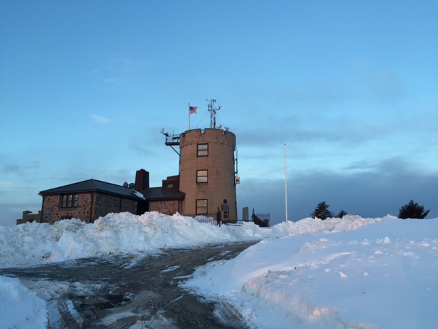
Blue Hill Observatory
Winter 2014-2015 Summary:
The winter (December-February) season was notable for starting warm and wet and ending with bitter cold and record snow, and the winter snowfall total was unprecedented in the 130-year history of the Observatory. The 24-hour mean temperature for the winter of 25.3 deg F was 2.0 degrees colder than the 120-year average for February, and this was 3.7 degrees colder than the 1981-2010 30-year average. However, the individual months were very different from each other with December more than five degrees warmer than average, January two degrees colder than average and February nine degrees colder than average. This was the coldest winter since 2002-2003 when the 24-hour mean temperature was 24.8 deg F. The maximum temperature for the season was 63F on December 1st, and the coldest temperature was -8F on February 16th. Each winter month was wetter than average and the liquid equivalent precipitation total was 18.55 inches, which was about five inches more than both the 120-year average and the 1981-2010 mean. This was the sixth wettest winter season on record and the wettest since 2007-2008, which had 18.98 inches. The big weather story of the winter was the record setting snowfall, which started late with very little snow in December and finished with record snow, including three of the 13 largest snowstorms in the Observatory’s history occurring in a three week period from late January through mid-February. The largest was the Blizzard of 2015, which was the second largest snowstorm in 130-years dropping 30.8 inches of snow from 26-28 January. Two other large storms occurred on 7-10 February, which brought 27.7 inches, and on 14-15 February, which brought another 21.6 inches. These three storms alone brought about 2/3 of the winter’s snowfall. The total snowfall of 128.8 inches was more than seven feet of snow more than the long-term mean for winter of 43.5 inches, making this the snowiest winter on record, surpassing the previous record of 117.4 inches in the winter of 1947-1948. The total snowfall for January and February alone was 126.5 inches, which is a new record for those months combined, and this is already a new record snowfall for any calendar year surpassing 125.2 inches for all of 1996. The snow depth on the summit of Great Blue Hill reached a high of 46 inches on February 15th, which is also a new record that surpassed the previous record of 43 inches in March 1969. The mean wind speed for the winter months was only 13.3 mph, which tied for the second slowest wind speed for any December-February period on record. Winter was notably cloudy with only 42 percent of the possible bright sunshine being observed, which was six percent less than the 120-year average of 48 percent.
BHO Snowiest December-February, inches (1886-2015):
1) 128.8 in 2014-2015
2) 117.4 in 1947-1948
3) 91.2 in 1995-1996
4) 89.6 in 2010-2011
5) 89.0 in 1922-1923
6) 86.4 in 2004-2005
7) 85.8 in 2002-2003
BHO Snowiest January-February, inches (1886-2015):
1) 126.5 in 2015
2) 77.9 in 1948
3) 70.2 in 2005
4) 68.7 in 1904
5) 67.5 in 1920
6) 66.9 in 1994
BHO Snowiest Years, inches (1886-2015):
1) 126.5 in 2015 (through Feb 2015)
2) 125.2 in 1996
3) 124.4 in 1967
4) 122.4 in 1956
5) 116.3 in 1945
6) 112.0 in 2005
7) 111.9 in 2005
BHO Wettest December-February, inches (1886-2015):
1) 22.03 in 1957-1958
2) 20.02 in 1978-1979
3) 19.35 in 1969-1970
4) 19.11 in 1977-1978
5) 18.98 in 2007-2008
6) 18.55 in 2014-2015
7) 18.26 in 1993-1994
8) 17.96 in 1968-1969
BHO Lowest Winter Mean Wind Speed, mph (1885-2015)
1) 13.1 in 2013-2014
2) 13.3 in 2011-2012
13.3 in 2014-2015
4) 13.6 in 2007-2008
5) 13.7 in 2004-2005
13.7 in 2012-2013
7) 13.9 in 2001-2002


